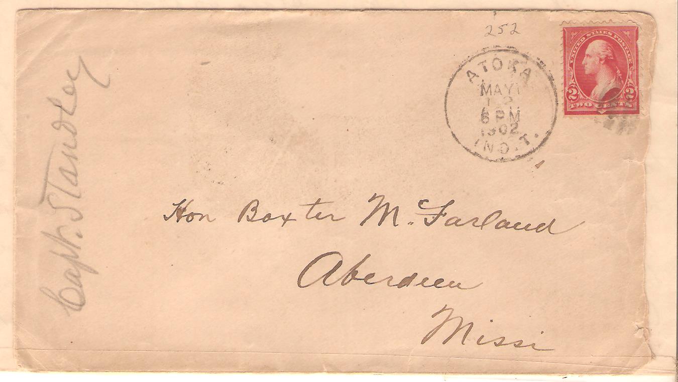
Jim Forte's website has the Indian Territory and Oklahoma Territory combined under Oklahoma, thus the need to know counties.
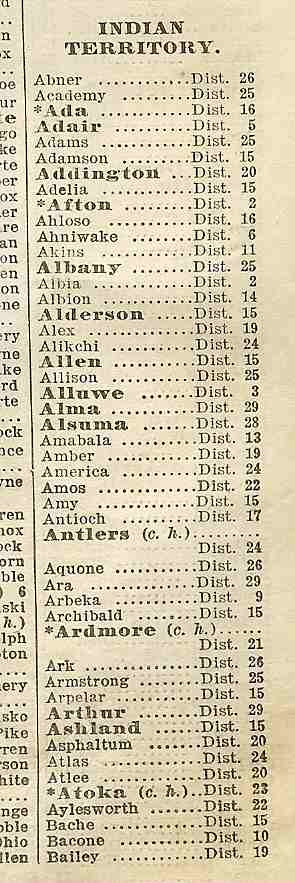
The annual U.S. Official Postal Guide has I.T. and O.T. separated in 1907 and prior years. Here is the start of that listing from the July 1, 1907 edition, but it would not include offices closed before then, or opened between July 1 and the fall.
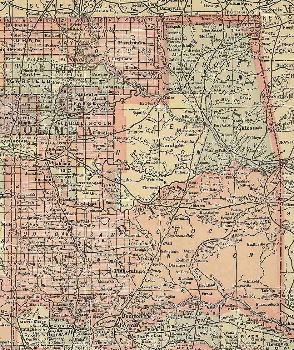
And from the Crowell Publishing Co's "The Twentieth Century Peerless Atlas and Pictorial Gazetteer of All Lands", copyright 1908, showing the eastern half of the current state of Oklahoma and what had to be the final configuration of the I.T. borders at the time of statehood.