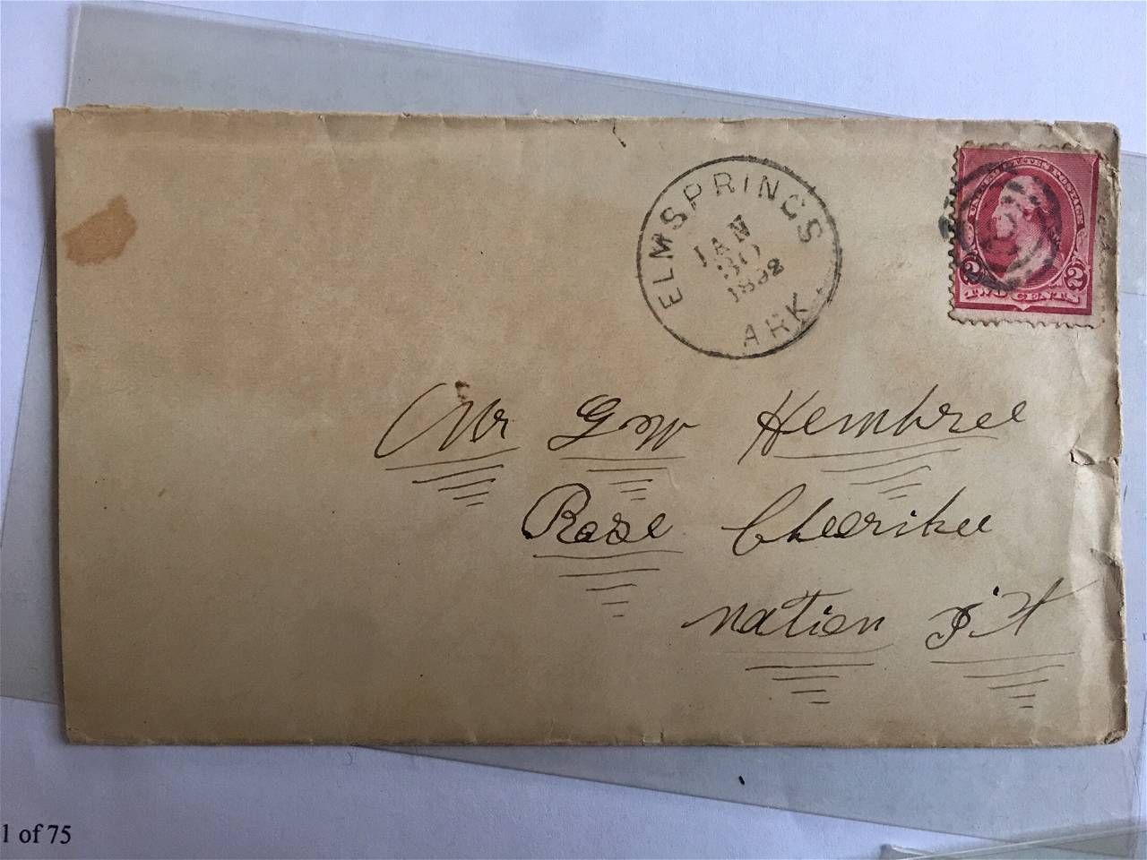
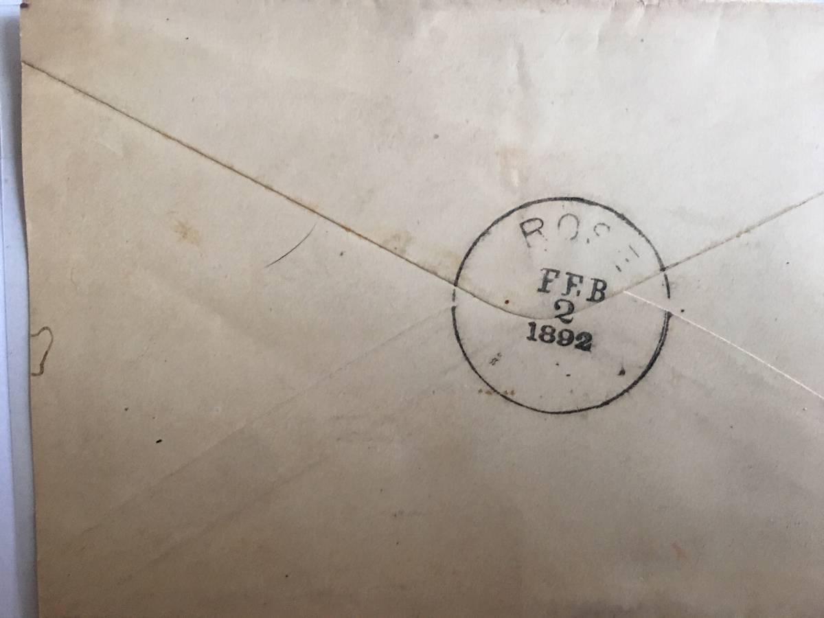
There is a Rose Oklahoma listed as being in Mayes County, Oklahoma. PO opened in 1891 as part of the the Indian Territory which became the state of Oklahoma in 1907. I do not have access to other information right now, but I would assume that Rose was located in the Cherokee tribe area hence Cherokee Nation.
Rose Oklahoma is in the territory that the Cherokee Nation was forced to move into. From Wikipedia
"Rose is a small unincorporated rural community and census-designated place in southeastern Mayes County, Oklahoma, United States, on Scenic U.S. Highway 412. The community was said to have been named for Rowe's Prairie, which is nearby. The post office was established March 13, 1891, with David Ragsdale as the postmaster. The ZIP Code is 74364."
The address makes more sense with different line breaks: Rose Cherokee Nation I.T.
Here is a broad overview map from 1899 showing the division between Indian Territory and Oklahoma Territory (Frye's Advanced Geography):
And a 1900 map (Cram's Unrivaled Family Atlas of the World) showing the Cherokee Nation area of Indian Territory at the far NE corner of the current state. Rose is just above the large "E" of TER.
Disclaimer: While a tremendous amount of effort goes into ensuring the accuracy of the information contained in this site, Stamp Community assumes no liability for errors. Copyright 2005 - 2026 Stamp Community Family - All rights reserved worldwide. Use of any images or content on this website without prior written permission of Stamp Community or the original lender is strictly prohibited. Privacy Policy / Terms of UseAdvertise Here